← Back to list
Architecture
Aerial Survey
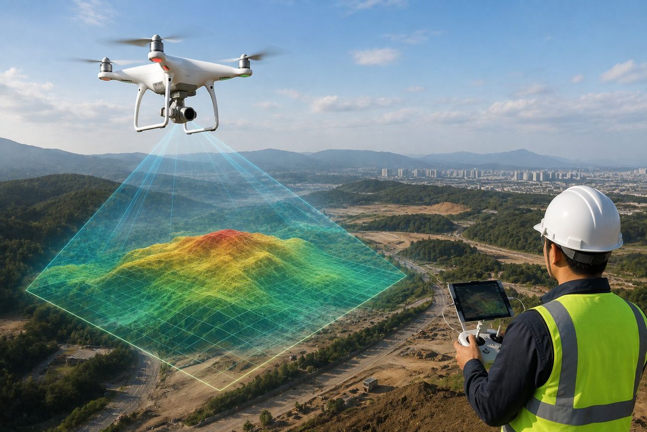
Accurate site data is the foundation of good design. We capture your site precisely with drone photography and 3D scanning.
Drone Aerial Photography
High-resolution aerial photos and video of the site and surrounding area.
3D Topographic Survey
Precise 3D terrain data used as the basis for design and planning.
Site Data Report
Clear, organized survey reports handed over to your design and engineering team.